VTT n°23 – Le Tour de Tigne

VTT n°23 – Le Tour de Tigne
VTT n°23 - Le Tour de Tigne

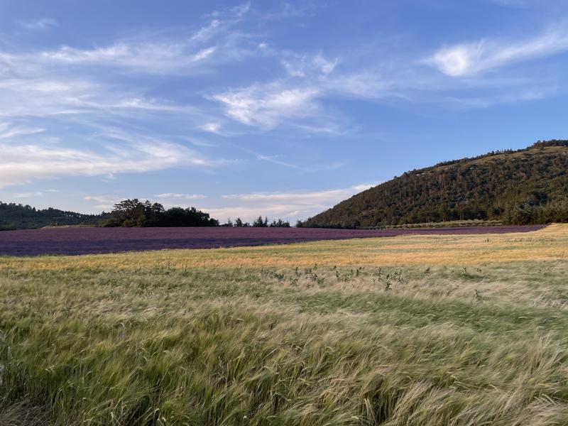
Cross the village towards the Trois Bastides by a small road. The path rises gently to reach the foot of the summit of Tigne. The descent is by a long track to the plateau of La Rouvière where there are lavender fields.

Departure from Volonne, parking next to the bridge. The departure is shared with route n°12 (La Fubie) to the Trois Bastides then continue straight towards the Hameau des Broumas.
After having toured the Tigne massif, you will descend via an easy track to the Rouvière plateau where there are lavender fields (flowering June/July). Return via a small technical balcony path to the heart of the village.

Provence Alpes Agglomération

Parking à côté du pont de la Durance,
04290 Volonne

Telephone : +33492640264

VTT n°23 - Le Tour de Tigne
×
Leaflet | Map data © OpenStreetMap contributors
Chains and labels
  • Circuits de France

Rates

Free access.
Publics
  • Level red – hard
Languages spoken
  • French
Equipements
  • Free car park
  • Car park

GPX tracks

VTT n°23 – Le Tour de Tigne_Volonne (Download the route)
Leaflet | Map data © OpenStreetMap contributors
Alpes de Haute Provence Tourisme equipement/apidae-vtt-n23-le-tour-de-tigne-4943682
Fiche au format PDF Imprimer la fiche

Updated on 14/02/2025 – Office de Tourisme Provence Alpes Digne les Bains – Suggest an edit

See also :

Pin It on Pinterest

Logo of Alpes de Haute Provence irresistible
VTT n°23 - Le Tour de Tigne
undefined
undefined
undefined
undefined
undefined
undefined
undefined
undefined
undefined
undefined
undefined
undefined
undefined
undefined
undefined
undefined
undefined
undefined
undefined
undefined
Fiche au format PDF
Imprimer la fiche
360 ° virtual tour of Alpes de Haute Provence
Logo of County Council Conseil départemental Alpes de Haute Provence
logo of Regional Council Région Sud Provence Alpes Côte d'Azur
logo CCIT 04