 " />
" /> 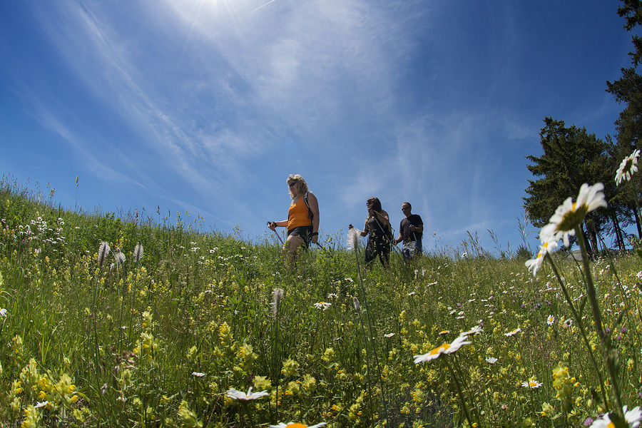
The GR®69 La Routo® is a hiking route that follows the old transhumance routes between the Crau plain and the Stura valley in the Italian Piedmont, covering a total of 520km, 252km of which is in the Alpes de Haute-Provence.
Through 33 stages, the Routo® allows you to discover some of the most emblematic and diverse landscapes of our region, from Provence to the Alps. Starting in Arles, in the Rhône delta and the Crau plain, via the Var, the route reaches the Alpes de Haute-Provence via Gréoux-les-Bains, the Plateau de Valensole, Digne-les-Bains, Seyne-les-Alpes and Barcelonnette to the Col de Larche, and continues into Italy to Cuneo, in the Valle Stura, with 15 stages crossing the Alpes de Haute-Provence département between Vinon-sur-Verdon and Larche.
The route passes through a number of protected natural areas: Camargue, Alpilles and Verdon Regional Nature Parks, Mercantour National Park, Réserve naturelle nationale des coussouls de Crau, Grand Site Sainte Victoire, Réserve naturelle nationale de Haute-Provence, UNESCO Géoparc de Haute-Provence and the Parco naturale Alpi Marittime.
Conseil Départemental des Alpes de Haute Provence
04140 Le Vernet
Telephone : +33492351100
Email : [email protected]
Website : www.rando-alpes-haute-provence.fr/randonnee-itinerante/la-rout…
Website : https://alpes-haute-provence.ffrandonnee.fr/actualite/20679/nouveau-se…
Website : https://larouto.eu/category/far-la-routo-faire-la-route/
- Circuits de France
- Open air
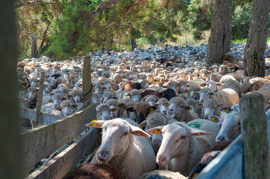
- Pastoralism
- GR®
Rates
Free access.- French


Updated on 18/09/2023 – Office de Tourisme Provence Alpes Digne les Bains – Suggest an edit